Updated September 29, 2022 at 5:28 AM ET
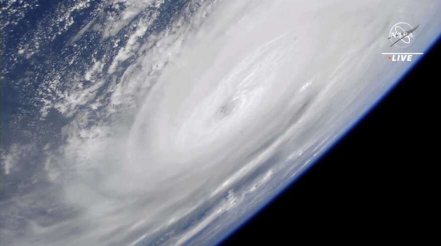
Ian weakened to a tropical storm Thursday morning as damage assessments across Florida were expected to begin at sunrise following a night where the storm cut through the state, bringing high winds, downpours and potentially life-threatening flooding.
Ian was downgraded to tropical storm status by the National Hurricane Center in its 5 a.m. ET Thursday update. It was located 40 miles southeast of Orlando, according to the National Hurricane Center. It is expected to emerge over Atlantic waters later in the day, the NHC said in its update.
[caption id="attachment_203916" align="aligncenter" width="743"]
Florida Public Radio Emergency Network[/caption]
The center said tropical storm conditions are occurring in parts of the east and west coasts of Florida and should spread northward along the Georgia, South Carolina and North Carolina coasts through Friday.
Earlier, on Wednesday afternoon, Ian made landfall in southwest Florida's Lee County, producing winds of 150 miles per hour and a storm surge over 7 feet high in Naples before coming ashore.
More than 1.5 million homes and businesses were without power as of Wednesday night.
NHC Acting Director Jamie Rhome said in an advisorythat the time for evacuation has long passed. Those who remain in the storm's path need to hunker down in the center of their home and prepare for sustained devastating winds.
The hurricane's eyewall reached Sanibel and Captiva islands, west of Fort Myers, shortly after noon. A webcamon Fort Myers Beach showed palm trees bending in the wind as waves toss furniture around in the surf.
Ian is forecast to continue making its way northeast across Florida. The situation on the ground will likely get worse before it gets better, as high tide isn't until 7:06 p.m. Wednesday, which will contribute to storm surge conditions.
The storm is expected to weaken after landfall, but could be near hurricane strength as it makes its way over Florida's east coast on Thursday, the NHC said. Ian will continue north toward Northeastern Florida, Georgia and South Carolina on Friday.
Related Content
https://www.wmfe.org/ian-threatens-floridas-already-unstable-insurance-market/203902


